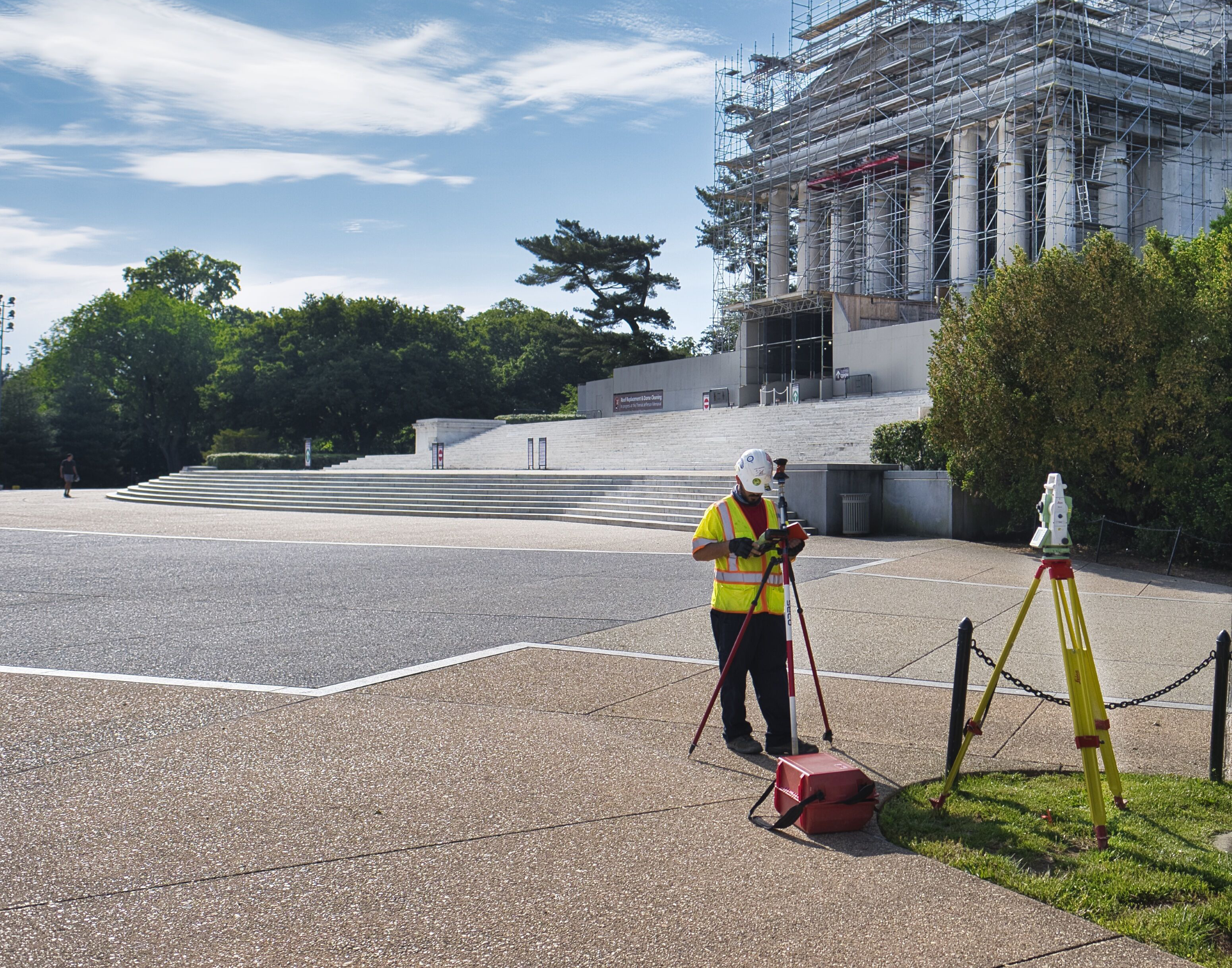
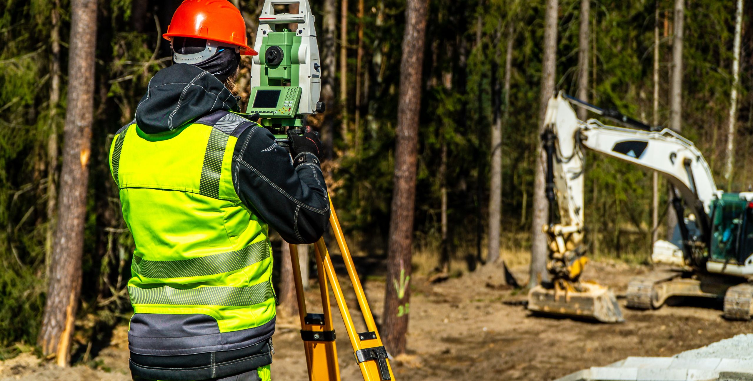
Surveying is a core service we’ve perfected through decades of experience, supported by numerous field crews equipped to handle projects of any scale. From tight urban environments to secured federal locations, we deliver precise and reliable data for every stage of development. Our expertise spans construction stakeout, topographic and ALTA/boundary surveys, utility mapping, and advanced technologies such as 3D scanning, LiDAR, and bathymetric surveys. Whether for private developments or federal projects, we provide the accuracy and efficiency you need to build with confidence.
- Innovation & Technology
- Boundary & Topographic Surveys
- High-Definition / 3D Laser Scanning
- GIS & CIM
- GNSS-Based Surveys
- Construction Services & Support
Gordon’s surveying services are built around advanced geospatial technologies that deliver higher accuracy, faster schedules, and more complete site intelligence. Our integrated use of aerial drone mapping, GNSS positioning, mobile and terrestrial 3D laser scanning, and reality capture workflows allows us to generate high-density spatial data, including orthophotography, point clouds, and digital terrain models, that directly support engineering design, quantity analysis, and construction documentation.
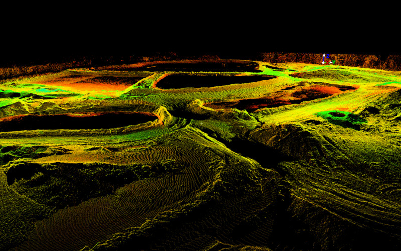
Aerial drone surveys are routinely used to produce survey-grade orthomosaics and dense point clouds, which are combined with ground control and field verification to support topographic surveys, ALTA/NSPS Land Title Surveys, volumetric calculations, and earthwork quantity takeoffs and construction as-builts. These datasets significantly reduce field time while improving coverage in large, complex, or difficult-to-access areas.
Our GNSS survey capabilities utilize multi-constellation GNSS positioning systems (GPS, GLONASS, Galileo) using Leica Geosystems GS-16 and GS-18 receivers, supported by RTK and VRS networks. Smart-pole technologies that include tilt-compensated measurement systems such as the Leica GS-18i allow accurate data collection in obstructed environments without compromising positional integrity.
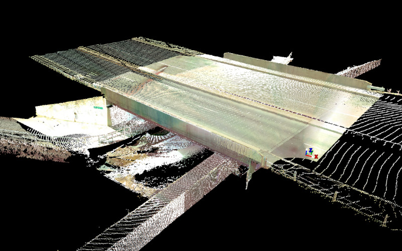
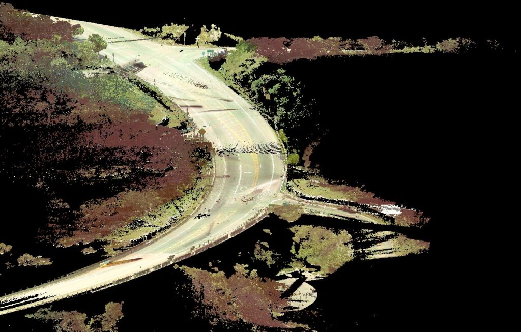
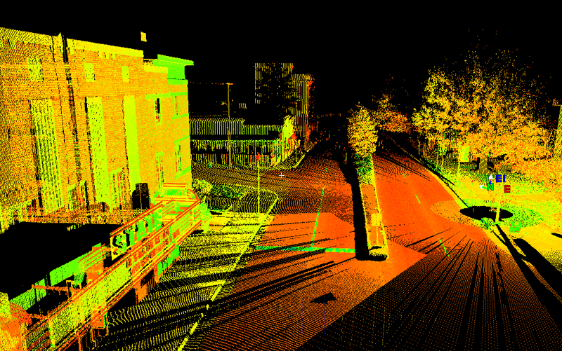
To capture existing conditions with unmatched detail, Gordon deploys mobile and terrestrial 3D laser scanning, including Leica and FARO Technologies via Orbis mobile scanners and Leica ground-based scanners. These systems rapidly collect millions of points per second, producing precise 3D representations of urban terrains, buildings, infrastructure, roadways, and construction sites – ideal for retrofit designs, clash detection, and as-built documentation. Gordon also supplements traditional 3D survey methods with iPhone Pro–based LiDAR scanning to document vaults, storm structures, and confined spaces where access may be limited.
For hydraulic environments, Gordon performs bathymetric surveys using dual-frequency echo sounders, enabling accurate mapping of submerged terrain and small water bodies.
Utility investigations are further enhanced using camera inspection tools, including Milwaukee camera snakes, to trace underground roof drains, pipes, and connections to reduce uncertainty during design and construction.
In the office, collected 3D data is processed and modeled using FARO SCENE, Connect, and Sphere, along with Leica Cloud Worx and Leica 3DR, to transform point clouds into design ready topographic surfaces and as-built drawings. These deliverables integrate into our client’s workflows, supporting engineers, architects, and contractors with reliable, data-rich models.
Gordon has completed thousands of boundary and topographic surveys across a wide range of environments throughout the mid-Atlantic Region – from dense urban corridors, rural developments surveys to secure federal installations, airports, and national cemeteries. Our surveys integrate traditional boundary research with GNSS positioning, aerial mapping, and laser scanning, producing highly accurate and defensible results suitable for design, permitting, and land title purposes.
- ALTA/NSPS Land Title Surveys
- Boundary Surveys and Legal Descriptions
- Record Plats & Easement Plats
- Right-of-Way & Route Surveys
- Bathymetric Surveys & Stream Cross-Sections
- Topographic Surveys for Civil Design
- Tree Surveys & Environmental Mapping
- Floodplain Mapping
FEATURED PROJECTS
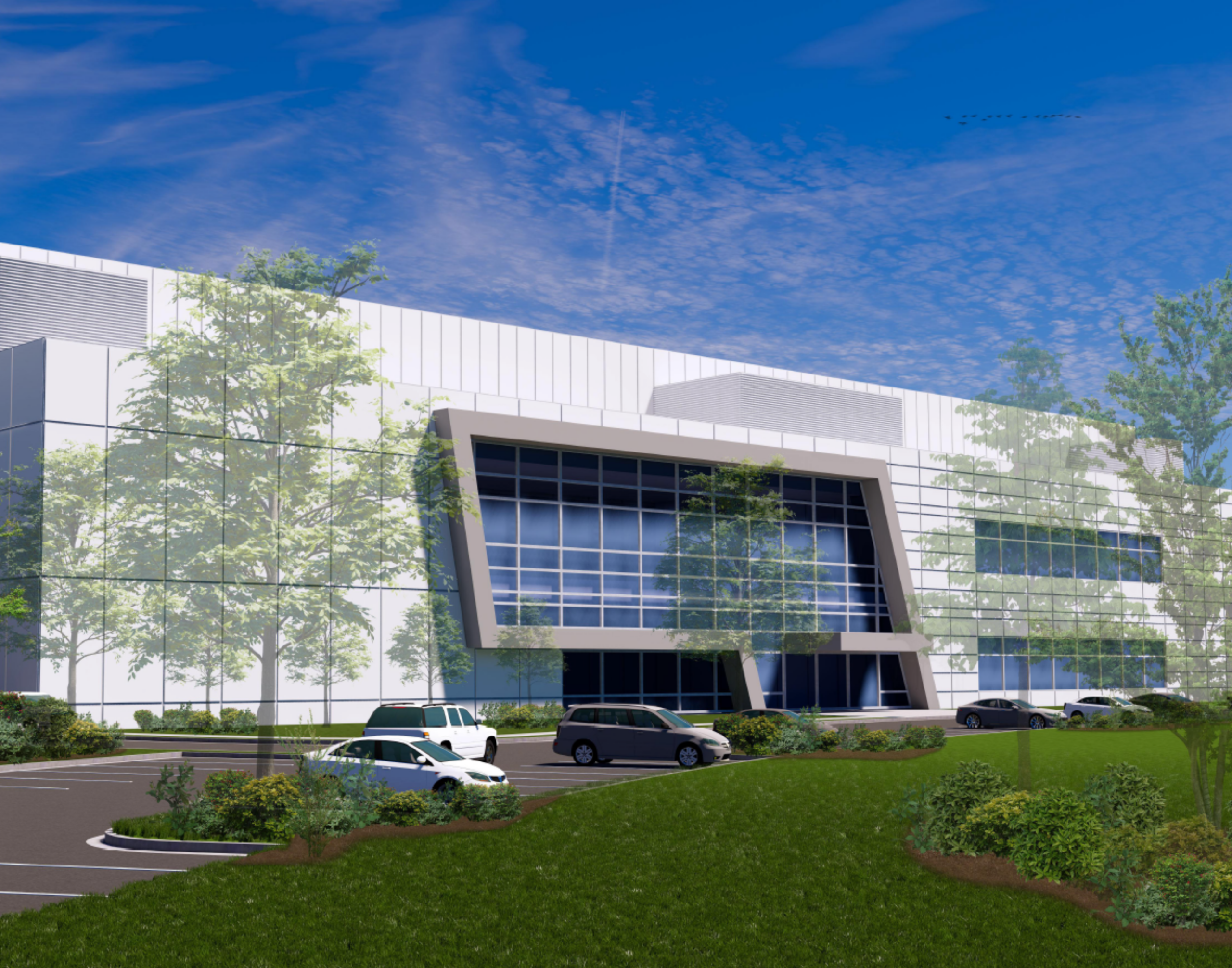
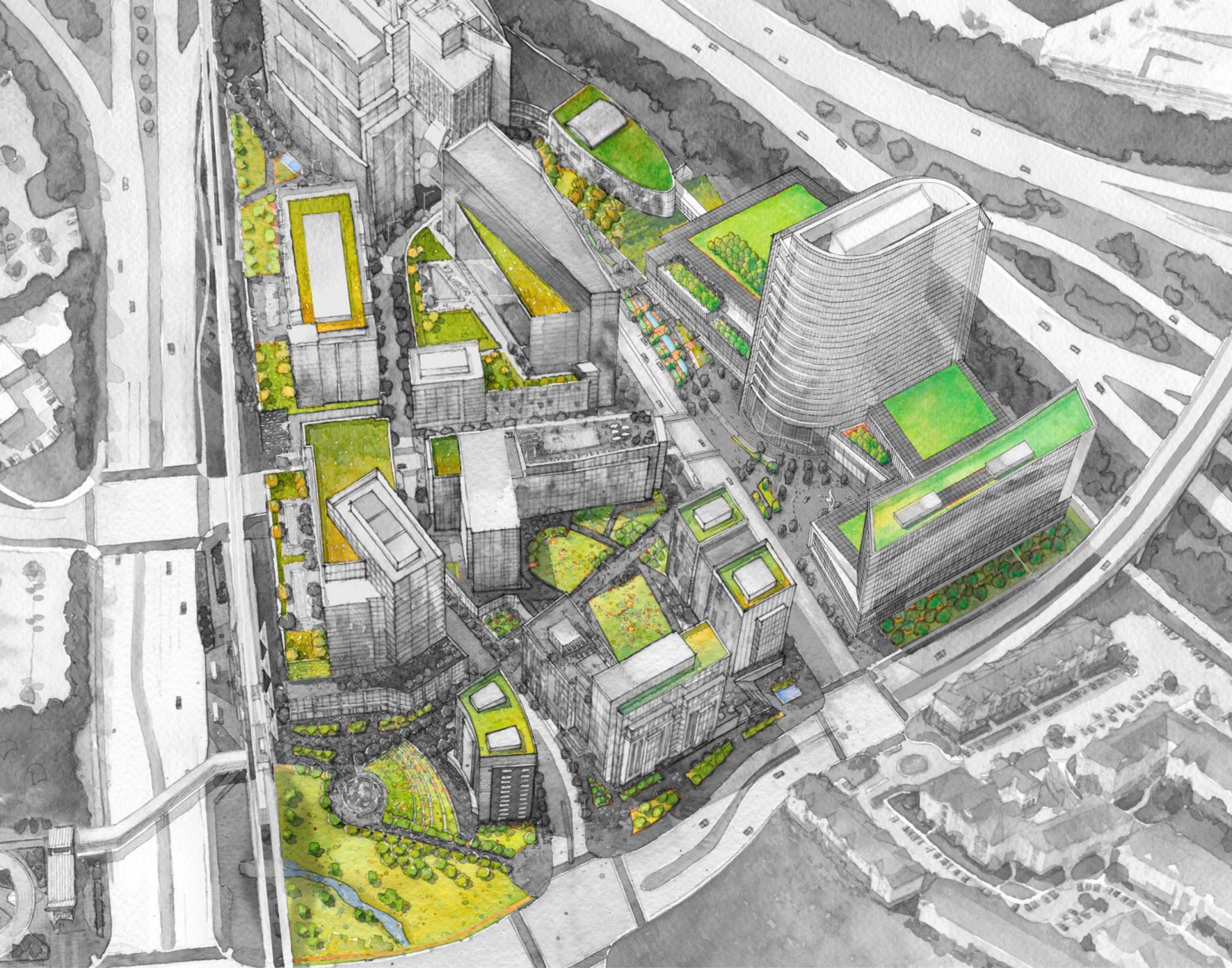
Capital One Center Master Plan
Land Planning & Zoning, Survey & Mapping, Water Resources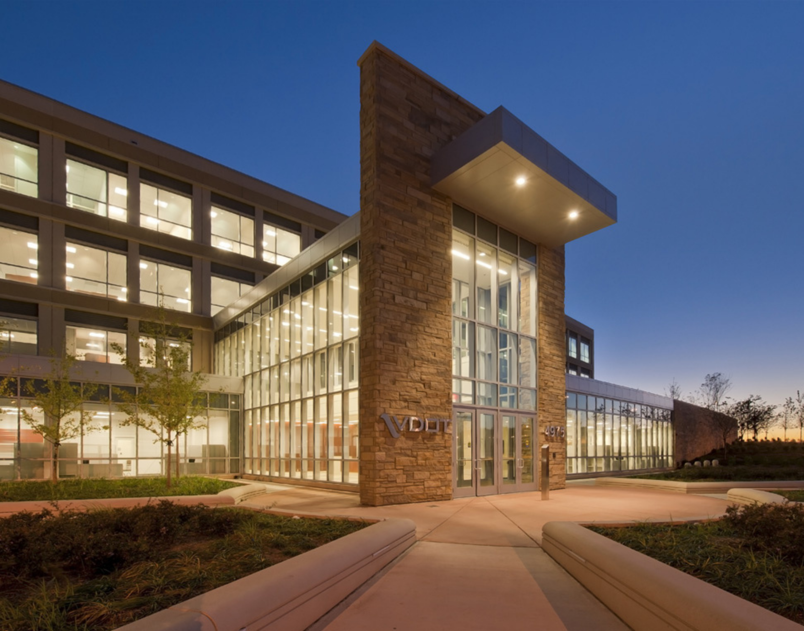
VDOT Administration Building
Civil Engineering, Landscape Architecture, Site Security, State/Local, Survey & Mapping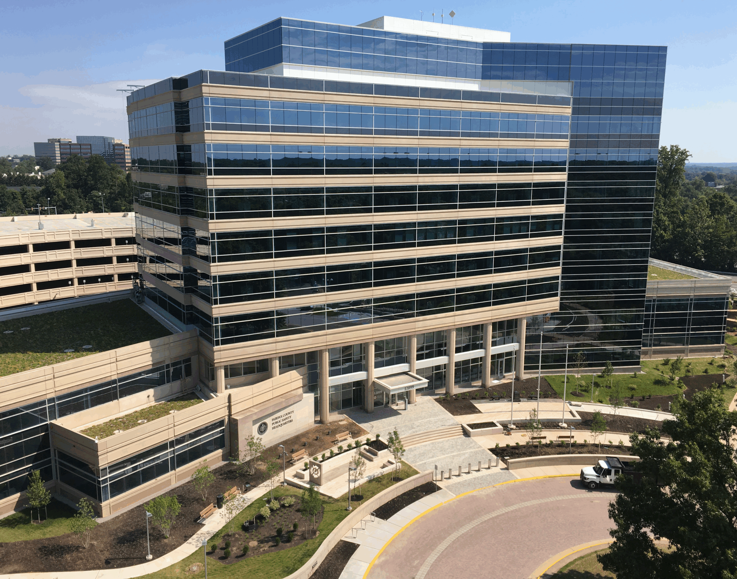
Fairfax County Public Safety Center
Civil Engineering, State/Local, Survey & Mapping, Water Resources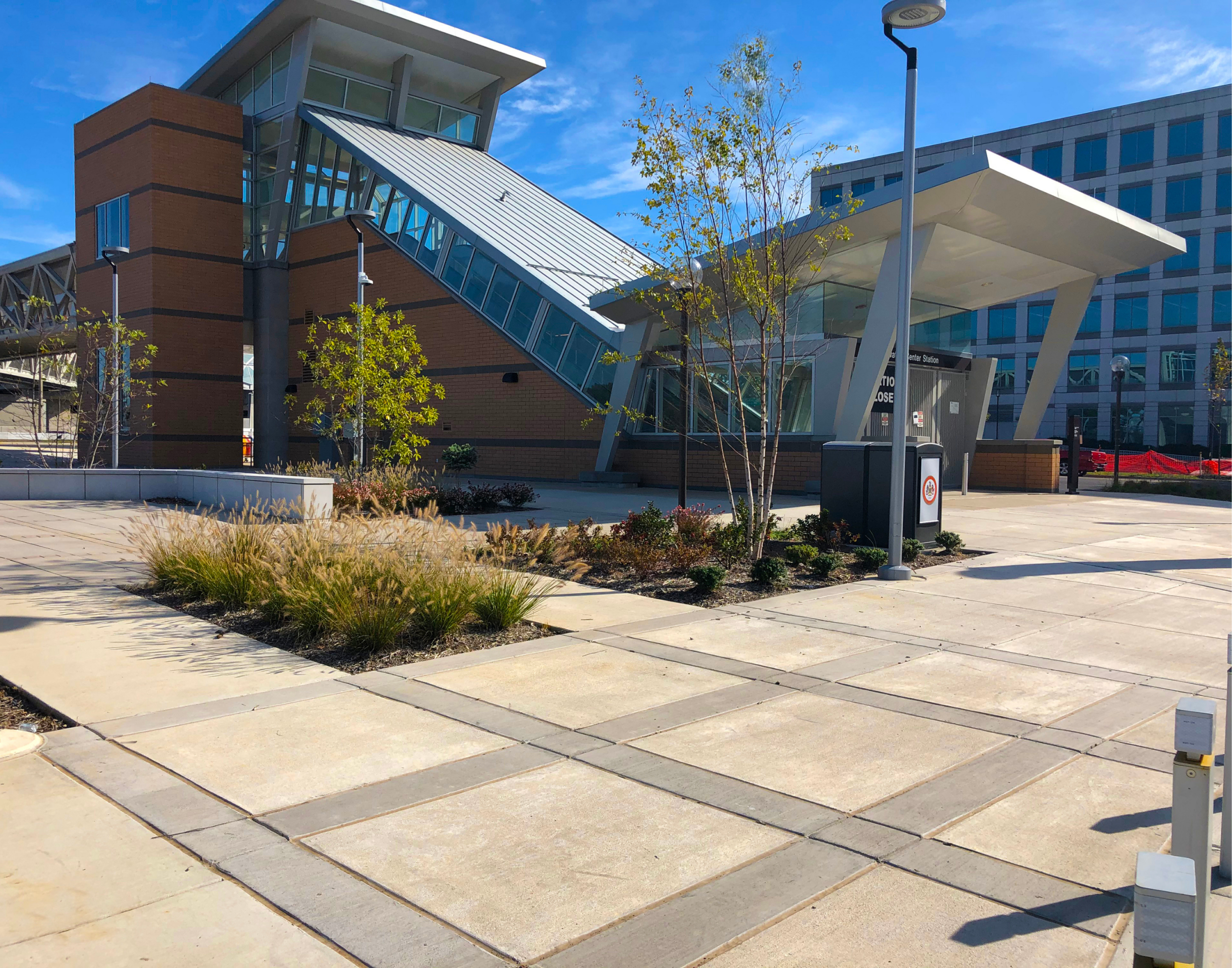
Innovation Center Station
Civil Engineering, Landscape Architecture, Site Security, State/Local, Survey & Mapping, Transportation, Water Resources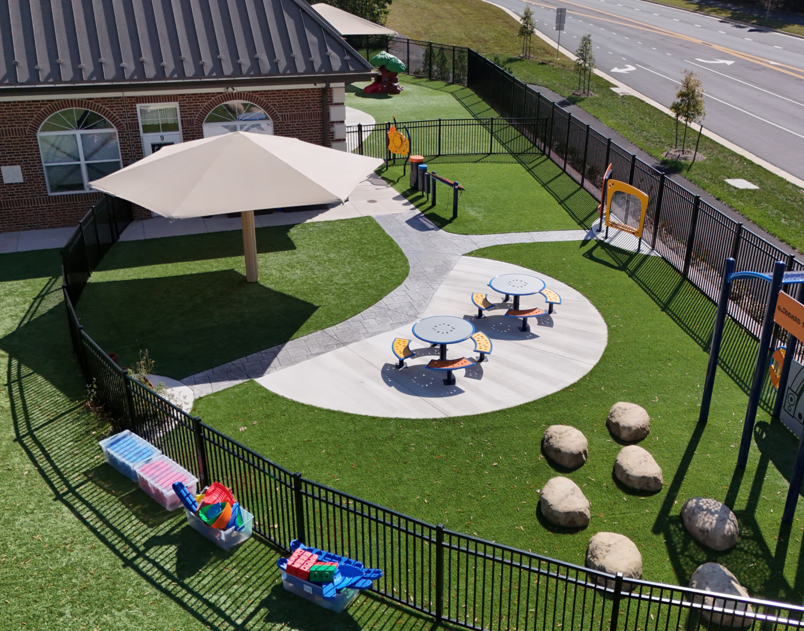
The Goddard School
Education, Landscape Architecture, Sports + Recreation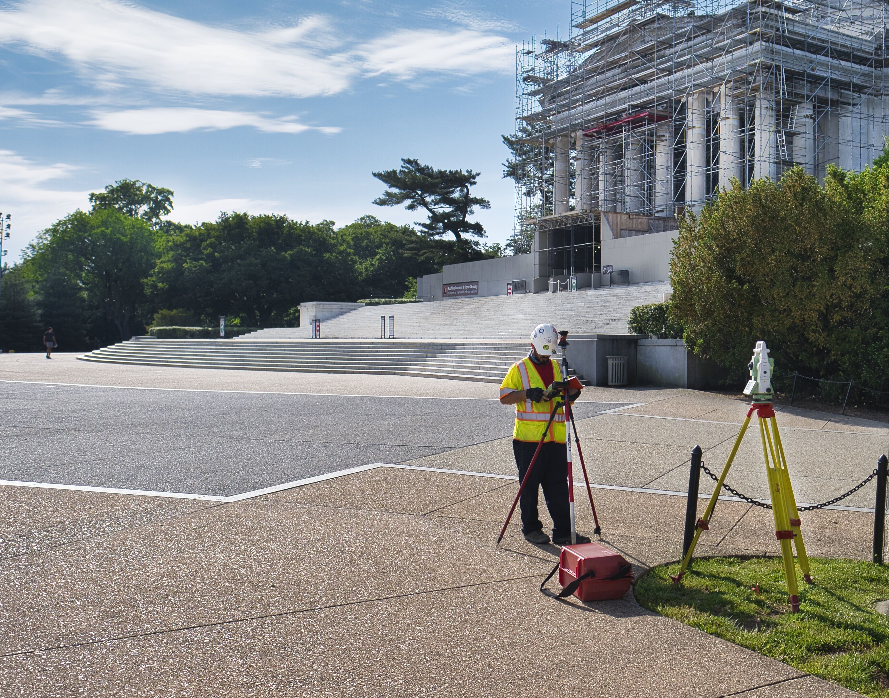
NPS – Thomas Jefferson Memorial
Federal, Museum & Cultural, Survey & Mapping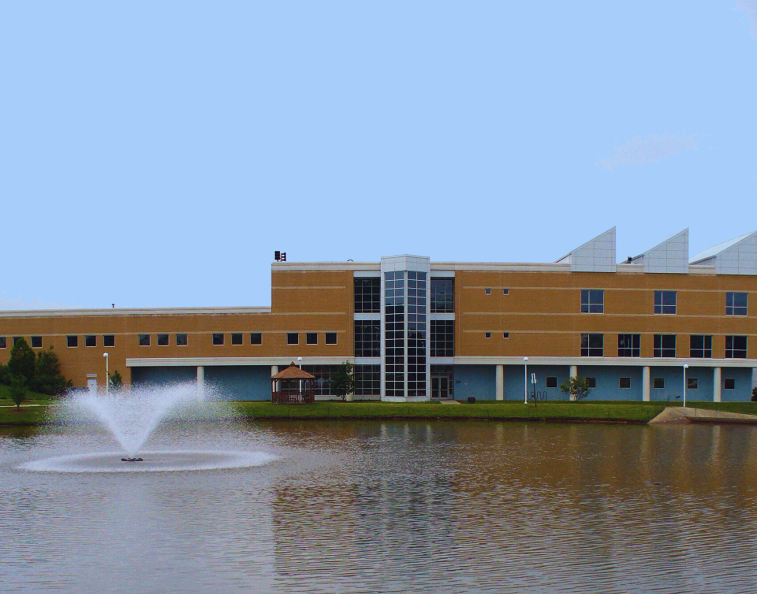
NVCC Loudoun Campus
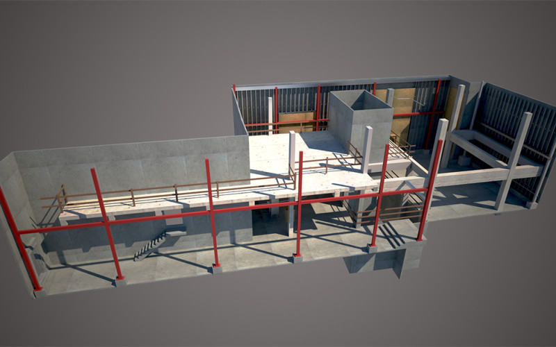
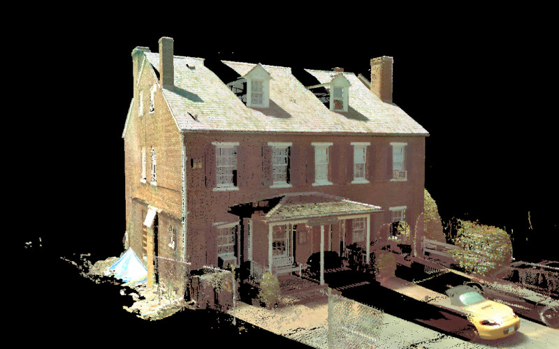
Civil Engineering, Education, Survey & MappingGordon has nearly a two decades of experience delivering high-definition 3D laser scanning and reality capture services. By combining mobile scanning, terrestrial scanners, and supplemental LiDAR capture, we efficiently document entire sites and structures with millimeter-level detail.
This technology-first approach dramatically reduces the need for repeat site visits, minimizes design unknowns, reduces rework, and delivers measurable value throughout the project lifecycle while providing designers and contractors with true-to-scale 3D environments that improve coordination, visualization, and construction accuracy.
FEATURED PROJECTS
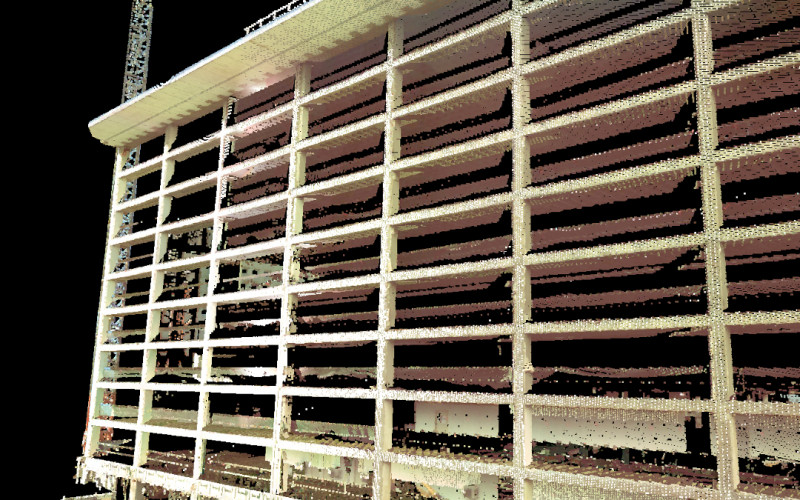
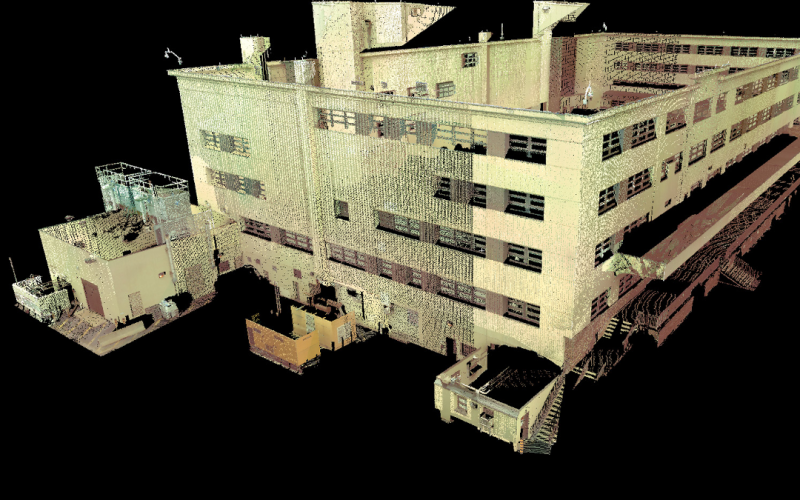
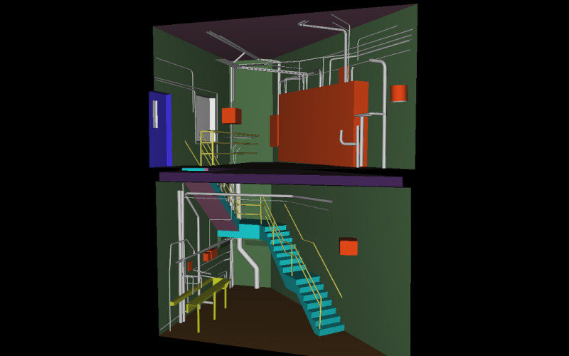
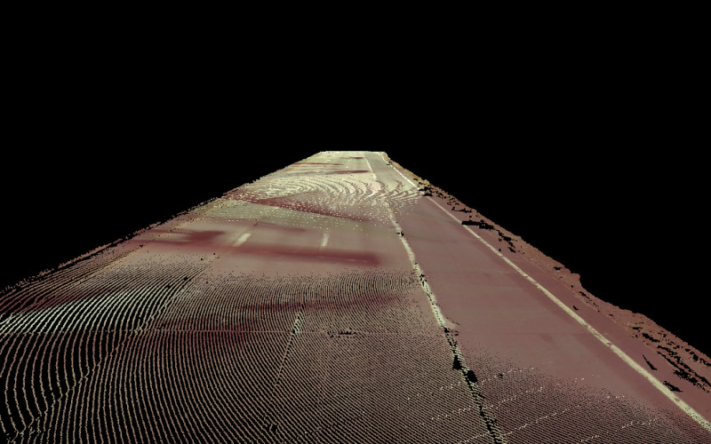
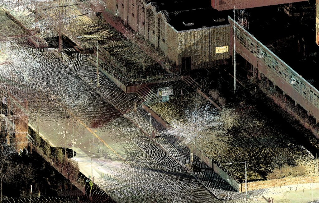
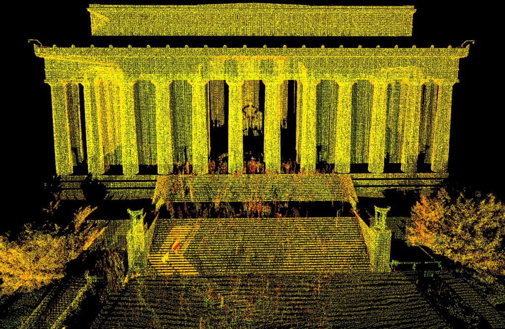
Gordon provides GIS and spatial data services to municipal, state, and federal clients, supporting both new system datasets and updates to existing datasets. Survey-grade positioning and reality-capture technologies ensure that GIS data aligns with engineering and asset-management needs.
Our survey and engineering teams also leverage Civil Information Modeling (CIM) workflows, converting survey and scan data into structured digital models that support long-term facility management and record documentation.
FEATURED PROJECTS
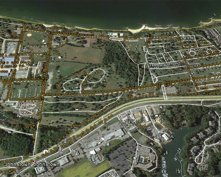
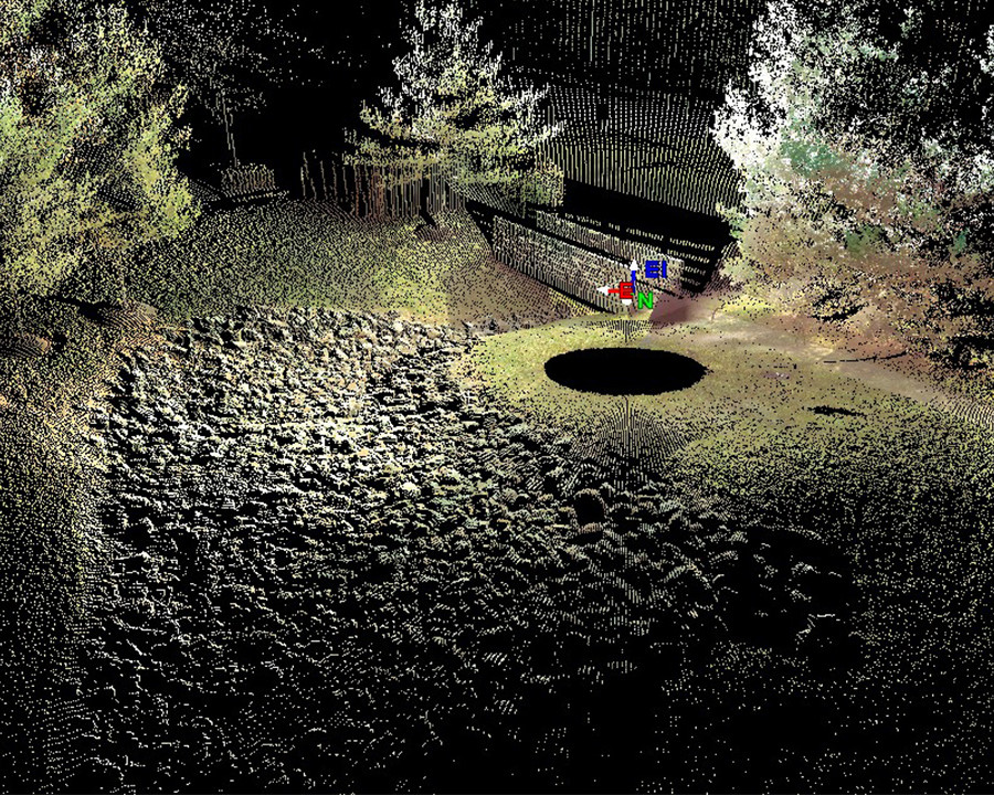
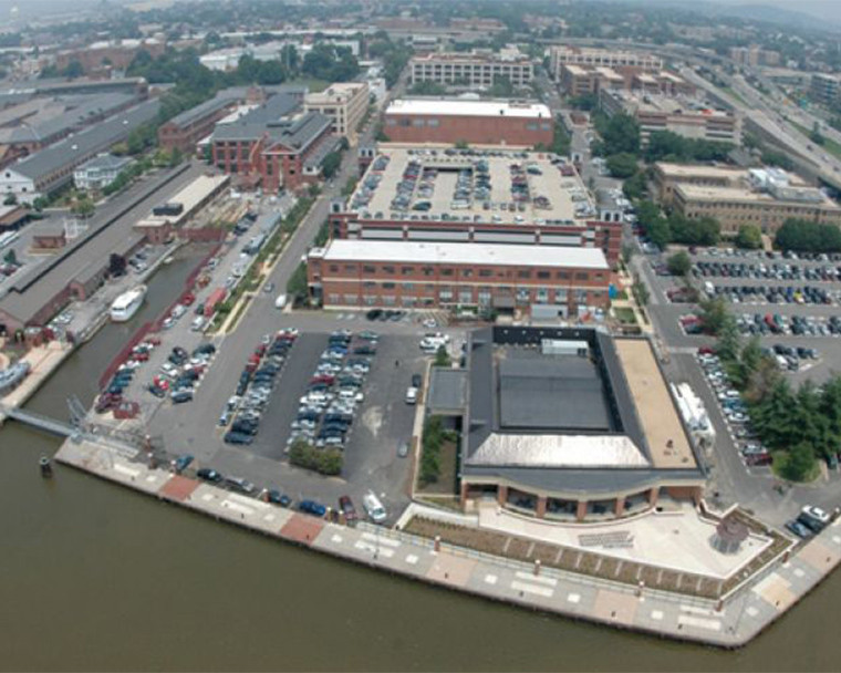
GNSS technology is a core component of Gordon’s field operations. Using multi-system GNSS receivers with RTK and VRS network-based corrections, our crews efficiently establish control and collect high-accuracy data in real time resulting in faster production schedules and reduced project costs without sacrificing precision.
FEATURED PROJECTS
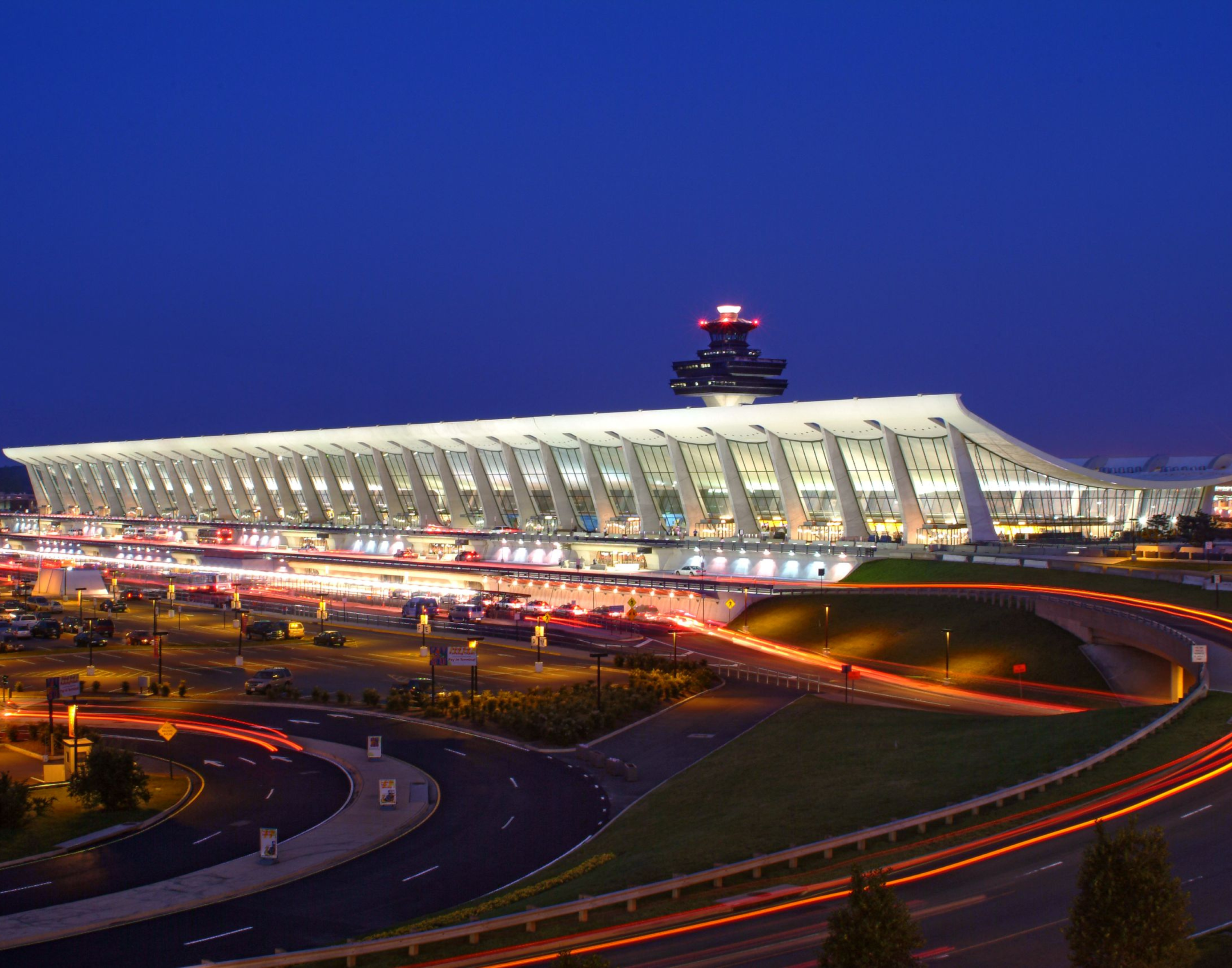
Washington Dulles International Airport
Civil Engineering, Landscape Architecture, Site Security, Survey & Mapping, Transportation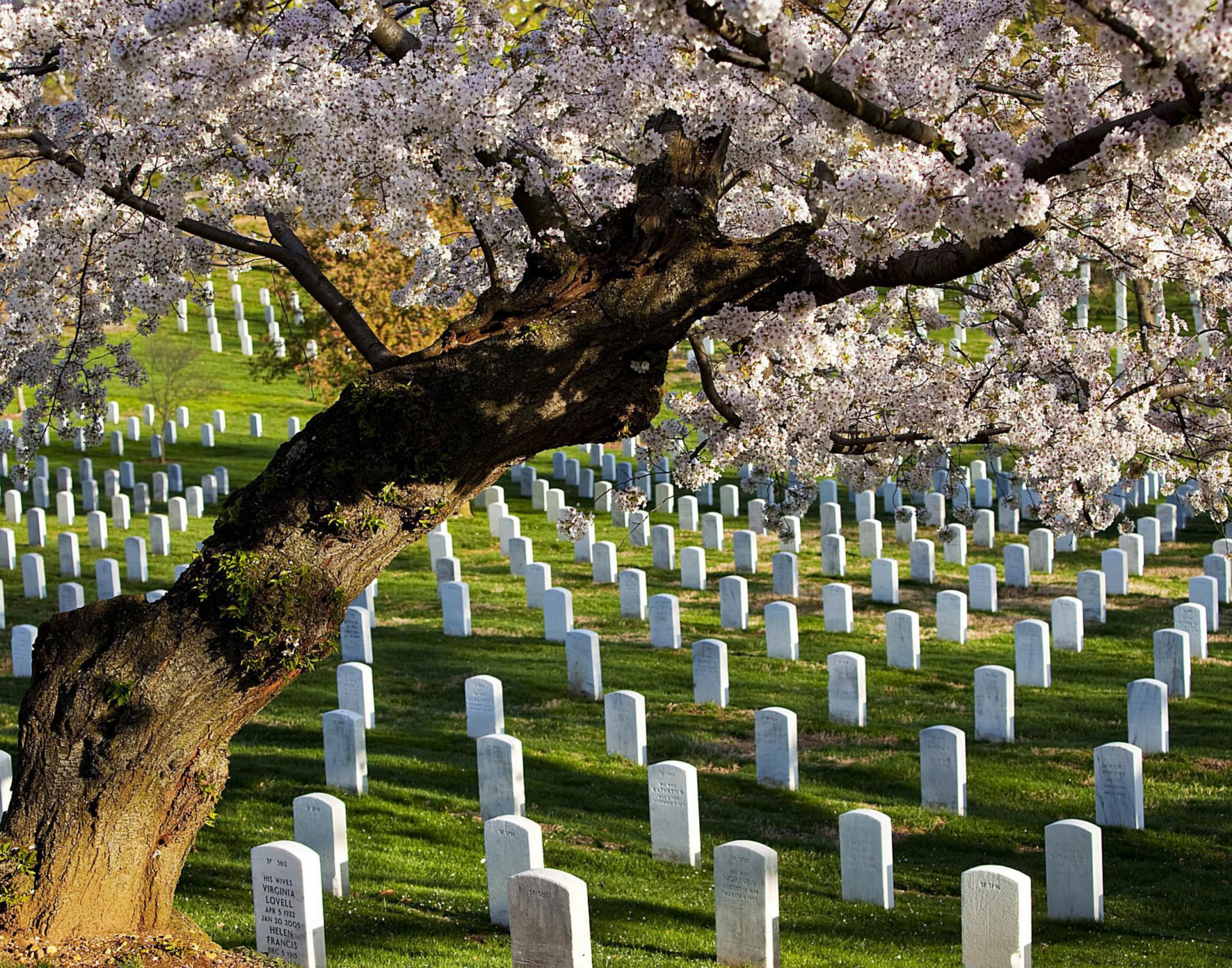
USACE Arlington Cemetery
Civil Engineering, Federal, Survey & MappingGordon provides responsive construction surveying services for public and private projects throughout the Mid-Atlantic region. Our teams are experienced working in active construction environments and secure sites, delivering precise layout and verification services that keep projects moving forward.
- Construction Layout & Stakeout
- Existing Conditions Surveys
- Structural & Settlement Monitoring
- Building & Column Layout
- QA/QC Verification Surveys
- High-Definition Laser Scanning
- Subsurface Utility Mapping
- As-Built & Record Drawings
FEATURED PROJECTS
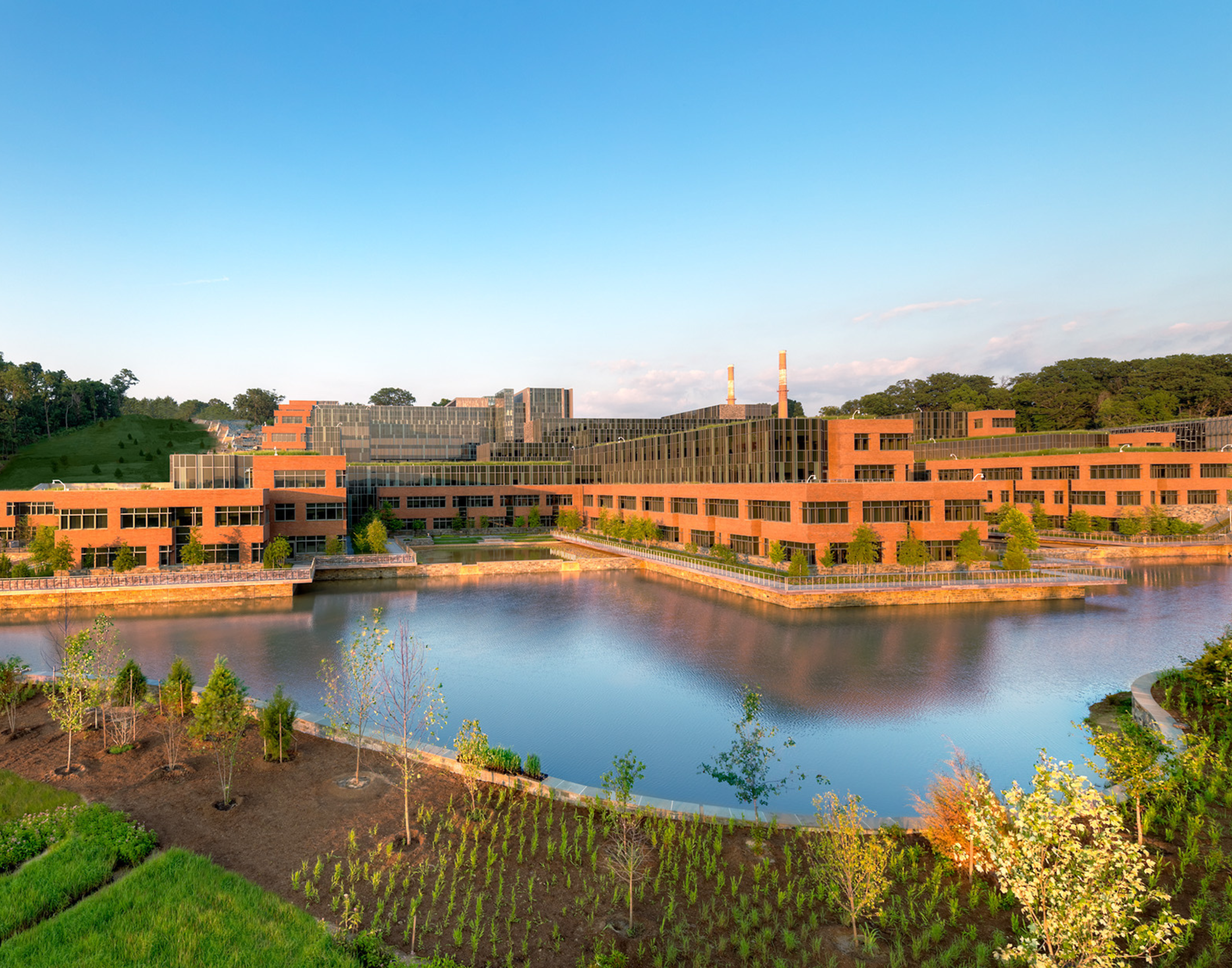
St. Elizabeths USCG Headquarters
Civil Engineering, Federal, Site Security, Survey & Mapping, Water Resources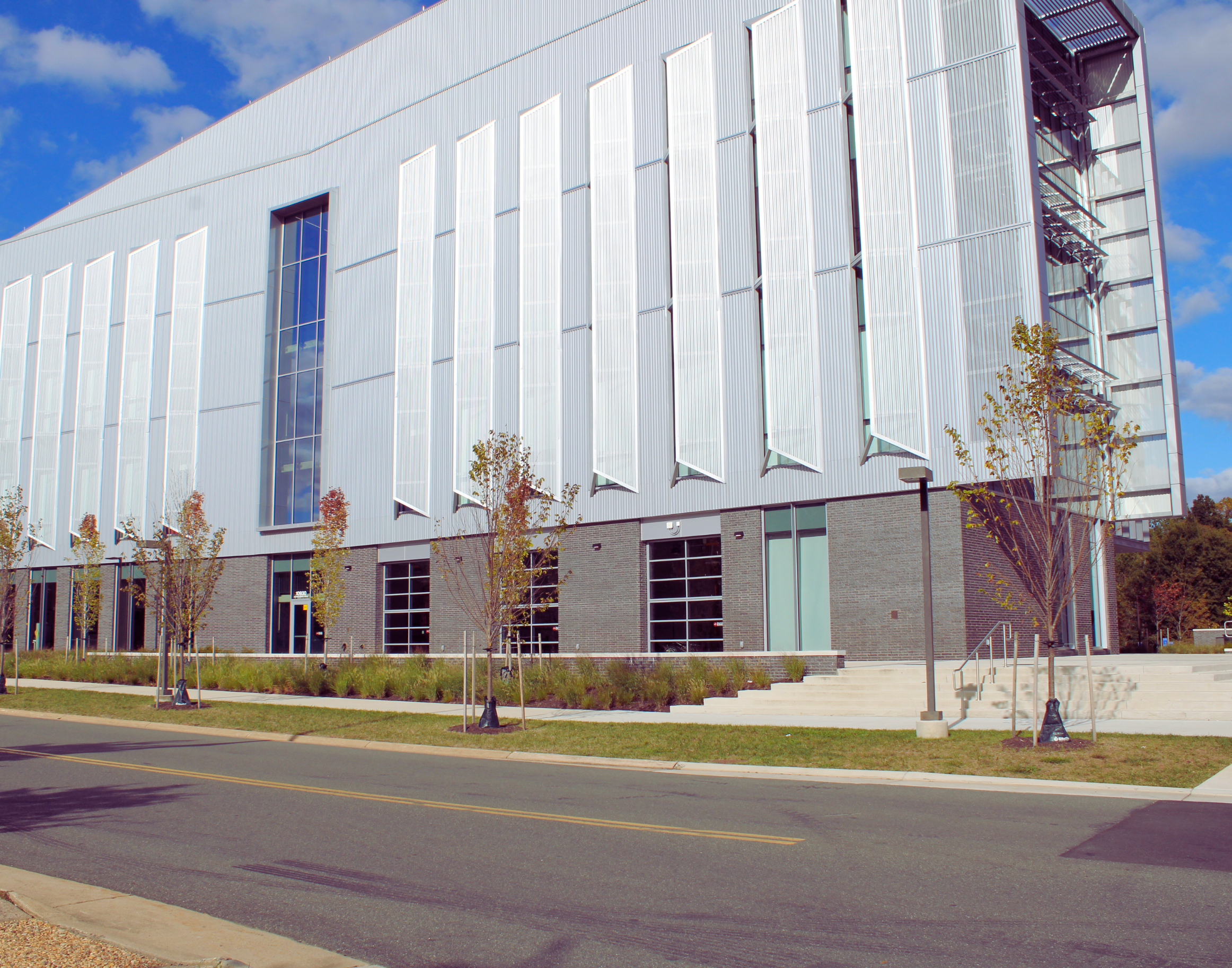
GMU – Life Sciences & Engineering Building
Civil Engineering, Education, Survey & Mapping, Water Resources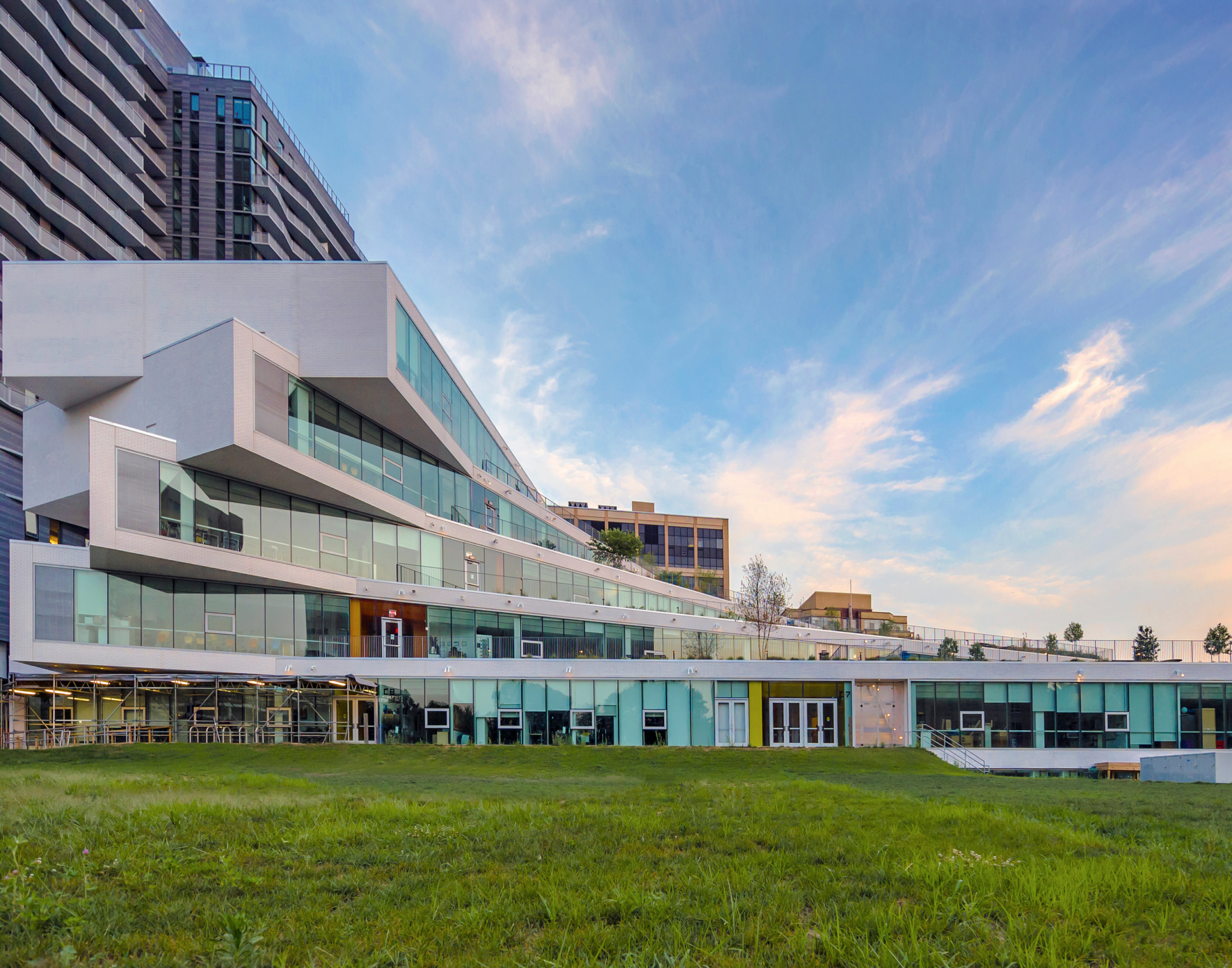
The Heights Building
Civil Engineering, Education, Landscape Architecture, Survey & Mapping, Water ResourcesH5 at Beaumeade
Arborist, Civil Engineering, Data Centers, Survey & Mapping, Zoning & Entitlements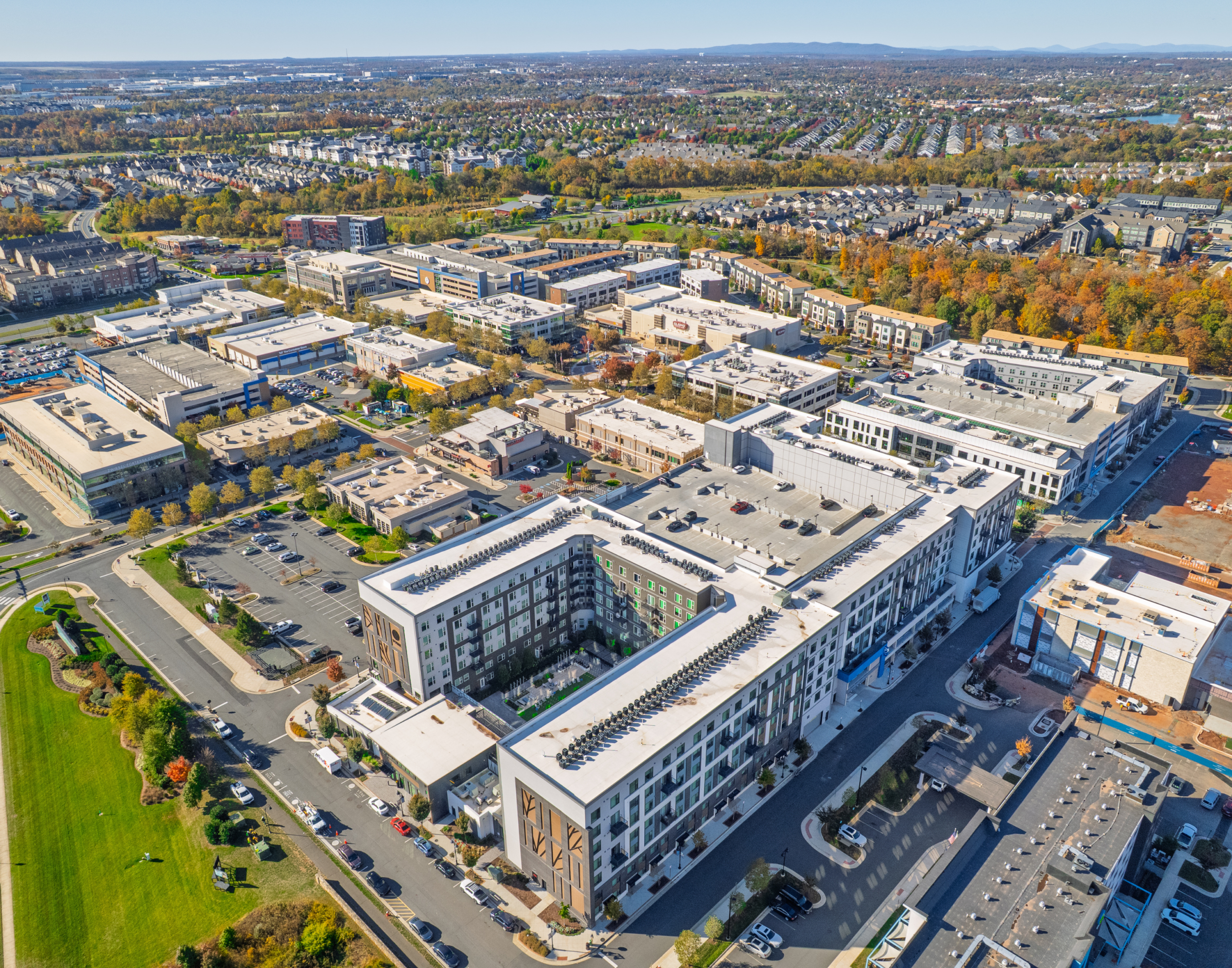
One Loudoun
Civil Engineering, Land Planning & Zoning, Mixed-Use, Office & Commercial, Retail & Hospitality, Survey & Mapping, Water Resources, Zoning & EntitlementsCapital One Center Master Plan
Land Planning & Zoning, Survey & Mapping, Water Resources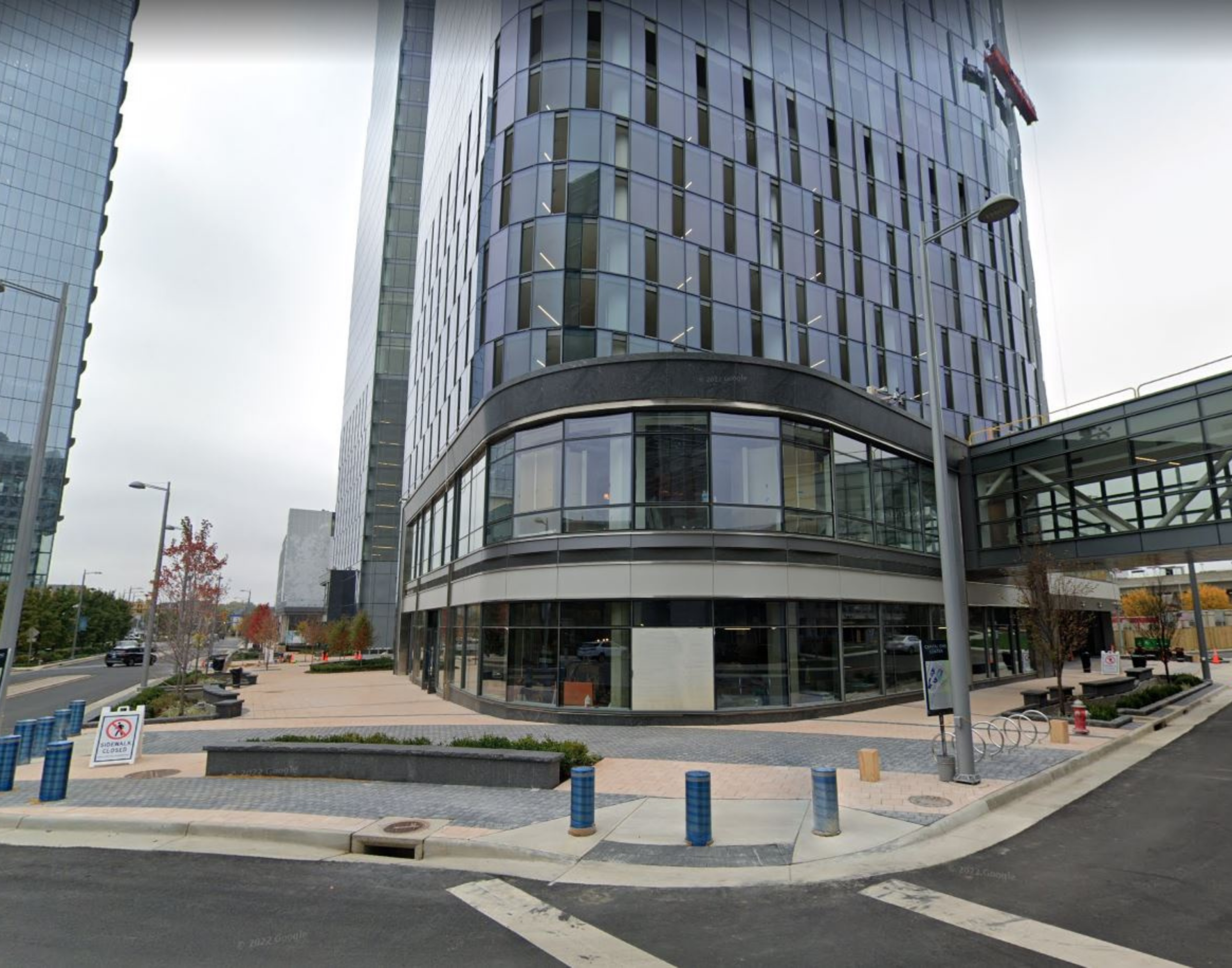
Capital One Block A
Civil Engineering, Land Planning & Zoning, Mixed-Use, Office & Commercial, Retail & Hospitality, Survey & Mapping, Water Resources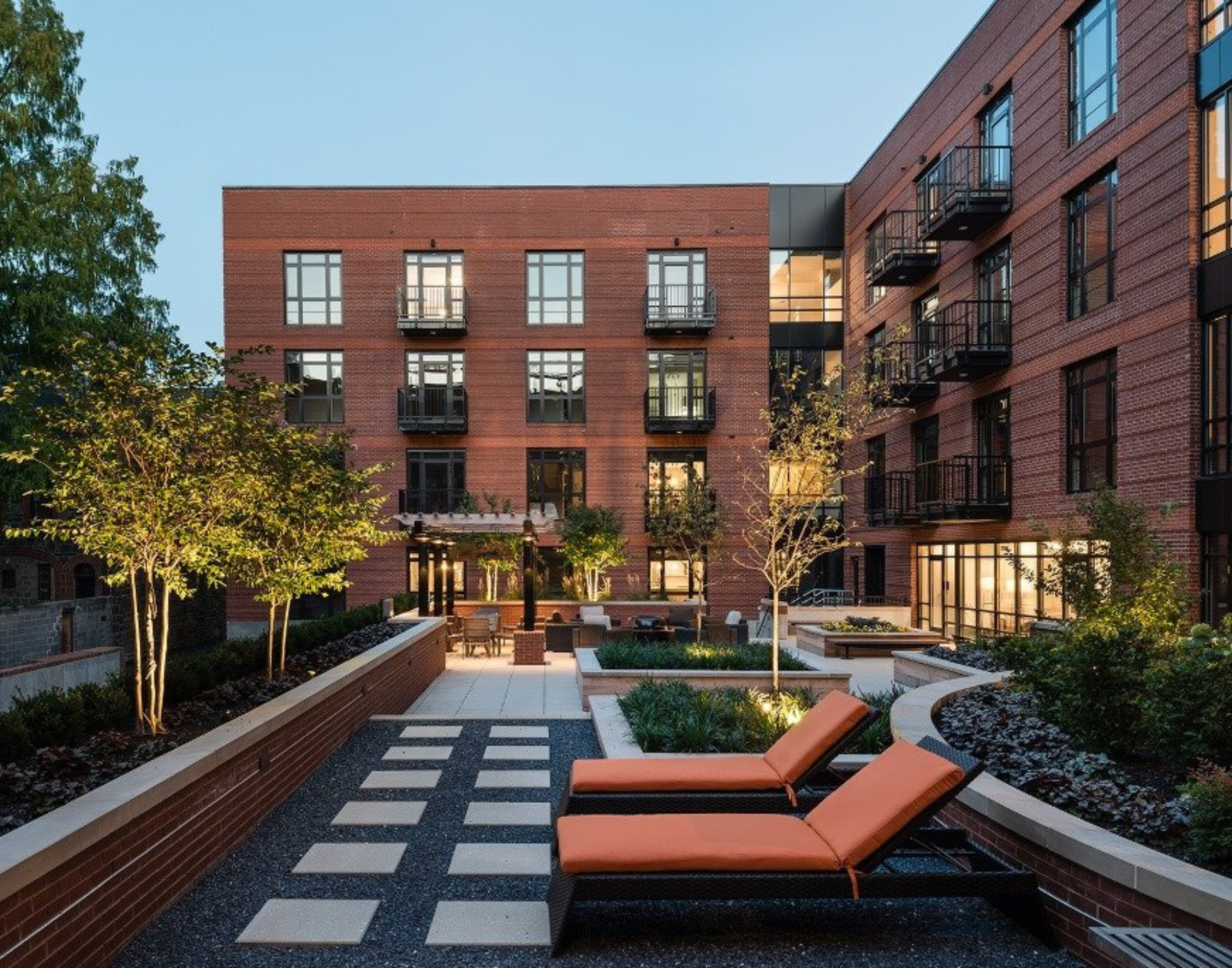
700 Constitution Avenue
Civil Engineering, Landscape Architecture, Residential, Survey & Mapping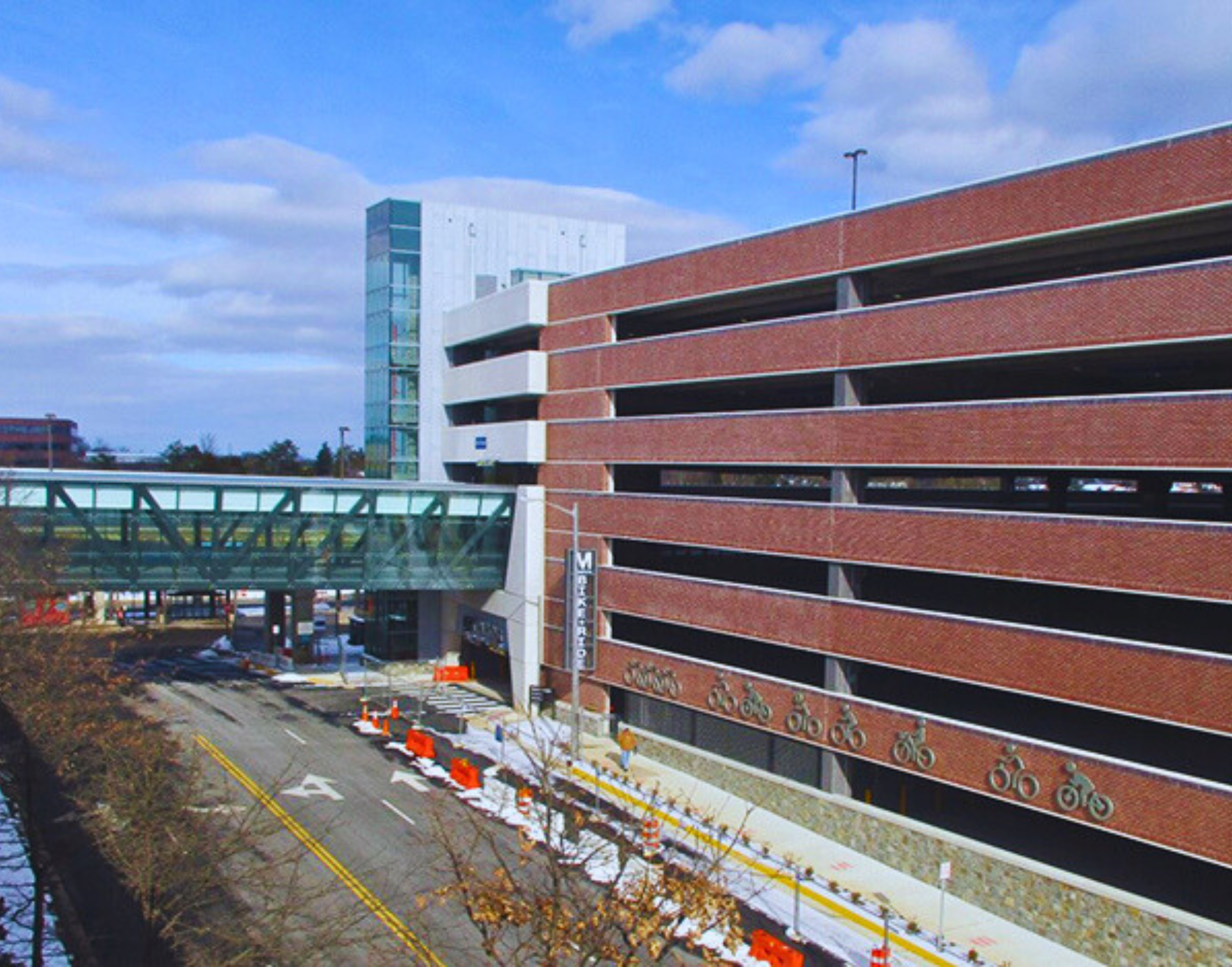
Herndon Monroe Parking Garage
Civil Engineering, Site Security, Transportation, Water Resources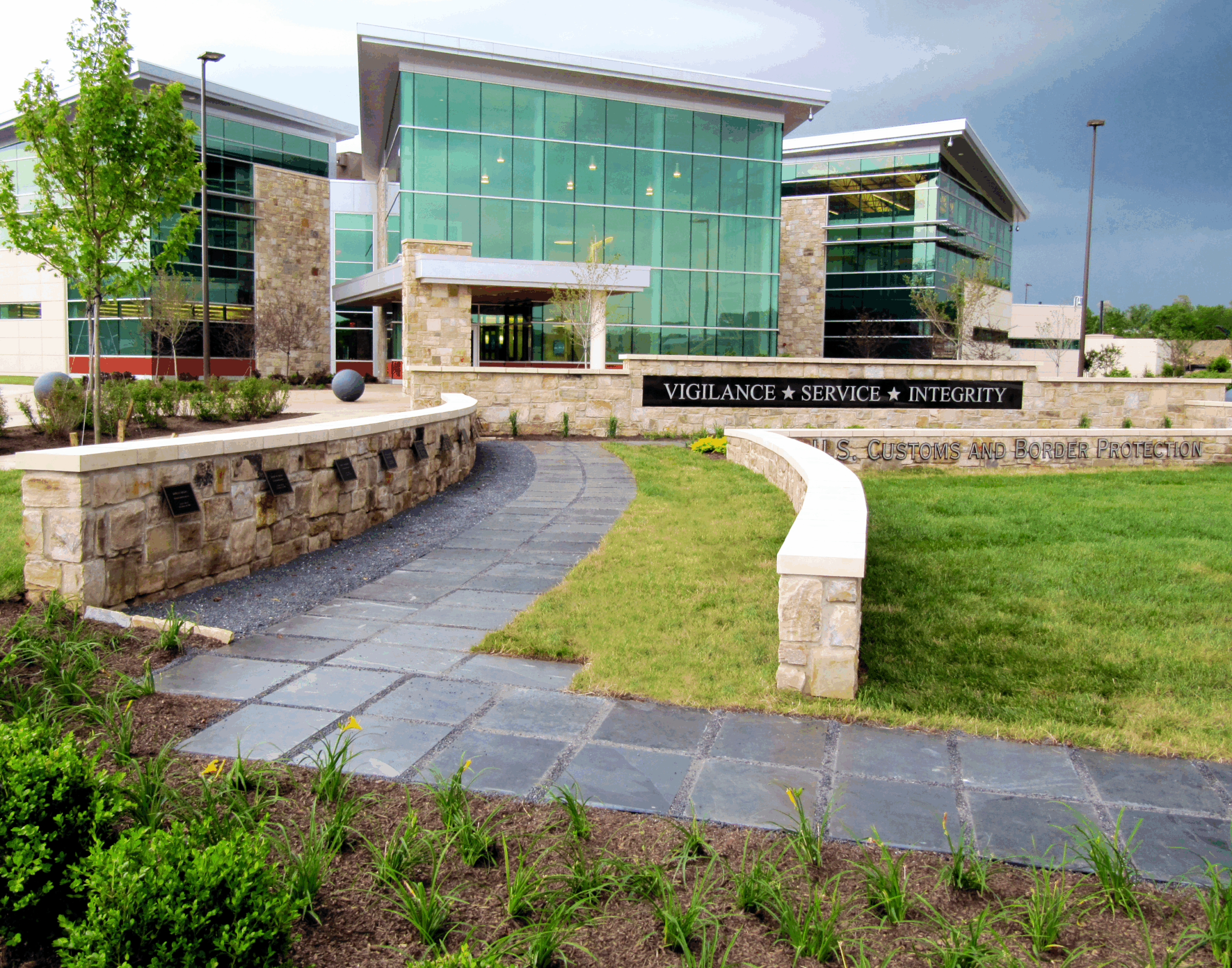
U.S. Customs and Border Protection
Civil Engineering, Federal, Landscape Architecture, Site Security, Survey & Mapping, Water Resources